TX GTG 11-7-08
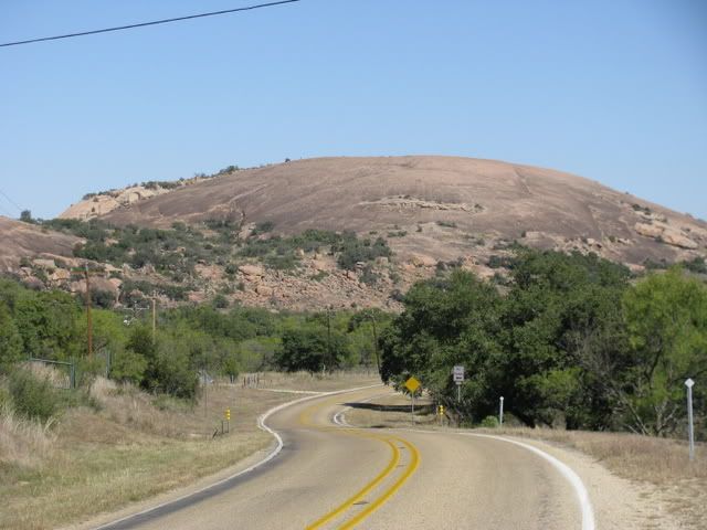
Beth, Diana, Liz, and Belle journeyed to hike up Enchanted Rock just north of Fredericksburg. This is a view of the batholith (once buried solidified molten rock that was exposed by uplift) from the road. Native Americans and early settlers regarded this hill as a special place – giving it the name “Enchanted”
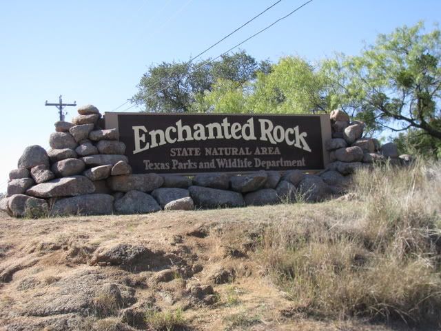
The entrance to the park
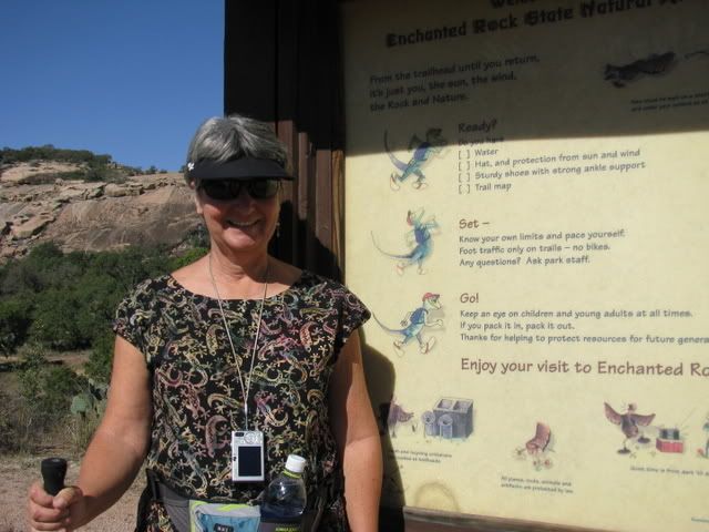
Diana was the best prepared according to this checklist…with hat, water, hiking stick and map.
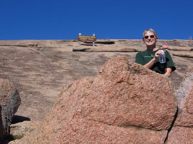
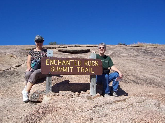
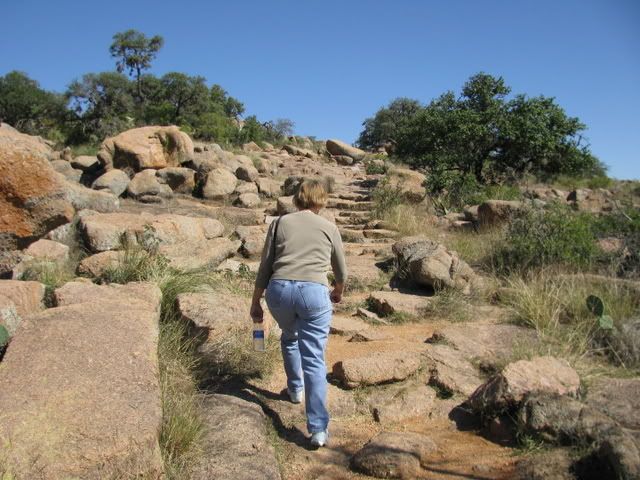
Belle prepares for the climb up the Summit Trail. The granite has a pink color, similar to the granite that was used to build the Texas State Capitol.
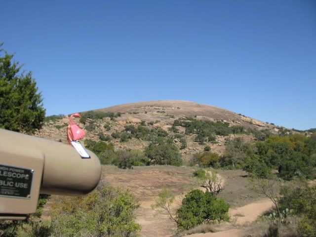
Beth leads the ascent.
To the right of Enchanted Rock, the angular hill called Turkey Peak can be seen, so named for the turkey vultures that roost there.
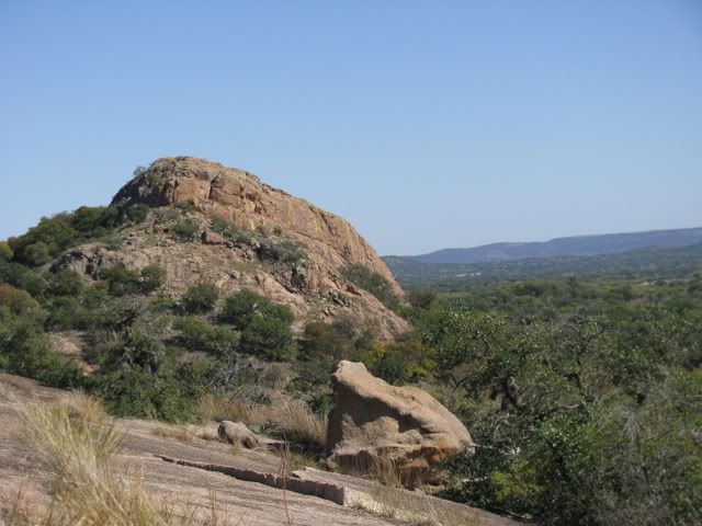
To the left is the smaller dome, Little Rock. You can see the granite exfoliation sheets, caused as the granite expands and breaks into curved sheets.
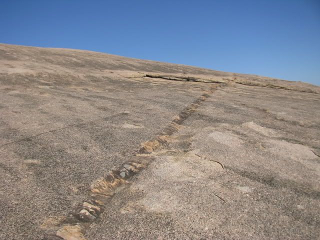
These rock stripes are called dikes and are sheets of once molten rock that were injected into fractures after the granite solidified.
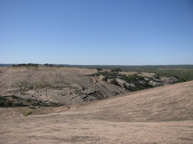
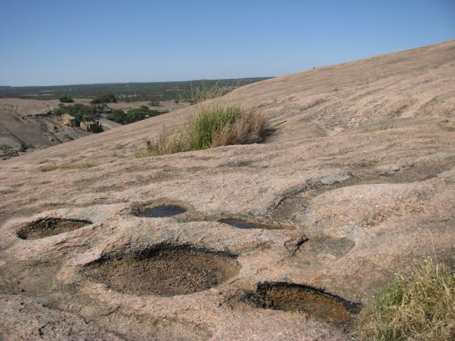
Weathering pits are depressions formed by erosion, when water and soil collect in the pits they can support various plant and animal life, but are very fragile.
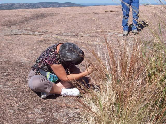
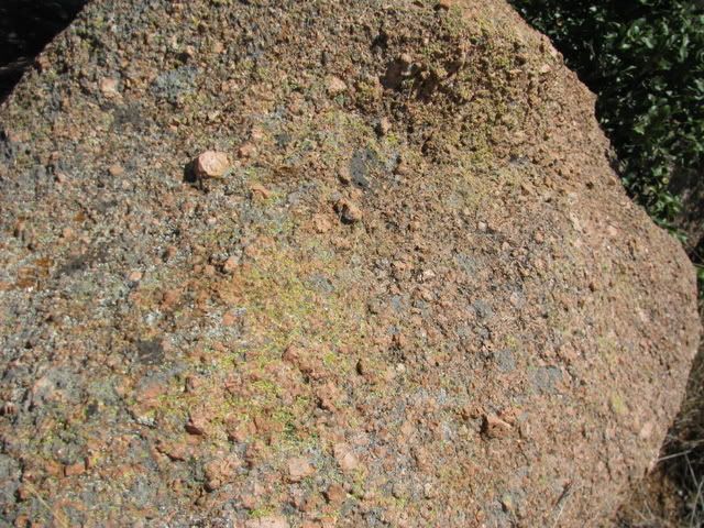
Yellow, black, orange, and green lichen species grow and add colors on the pink granite.
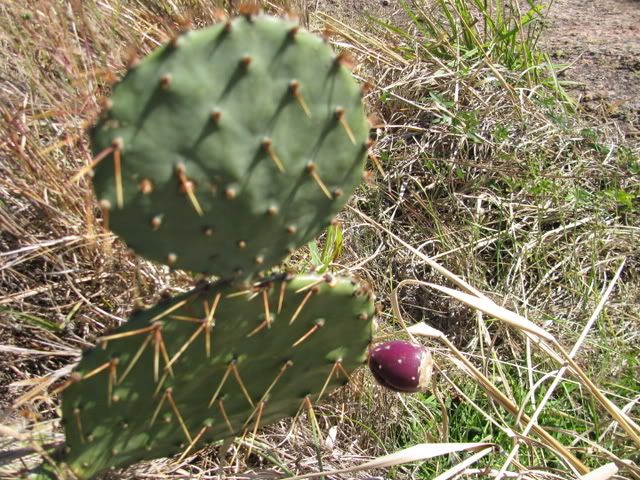
Prickly pear supplied food (both the pads and fruit are edible) for the Native Americans.
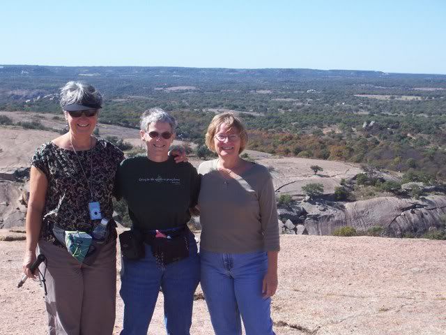
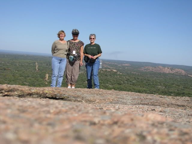
Here we are at the summit
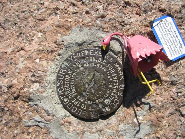
This survey marker is at 1825 feet above sea level and marks the highest point on Enchanted Rock.
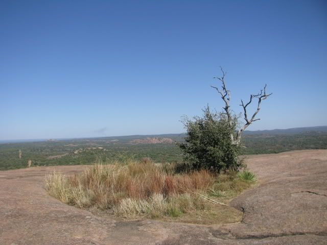
This lone live oak tree died due to drought and people trampling and compacting the soil around it. It was left as a reminder to visitors to stay out of the weathering pits and vernal pools.
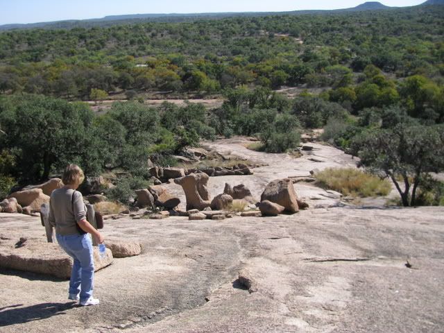
Going down is harder than going up.
After our hike we went to a Mexican Restaurant in Fredericksburg for lunch….Mamacitas
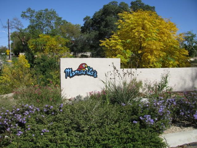
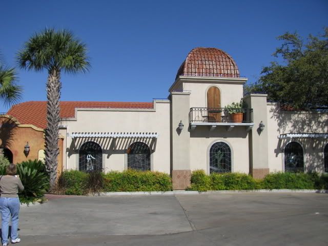
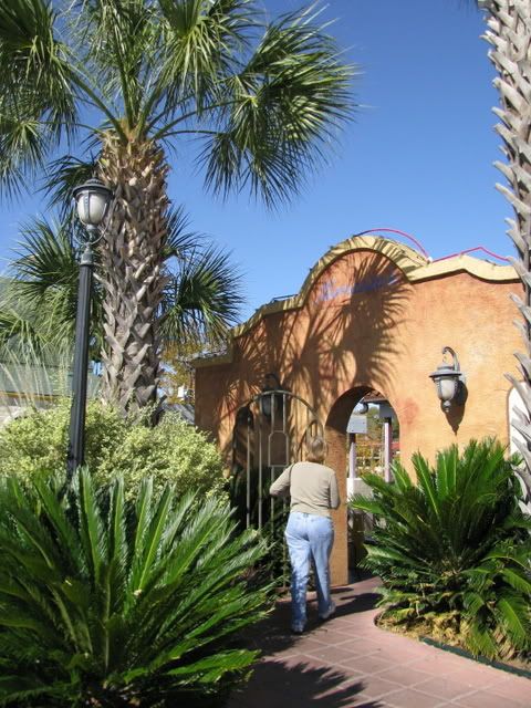
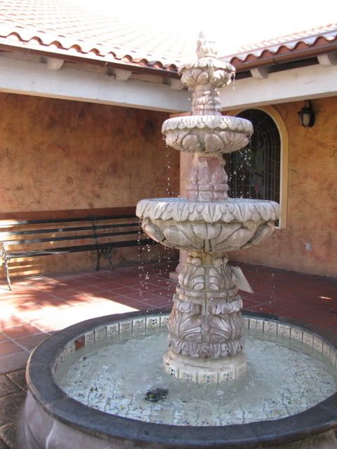
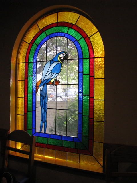
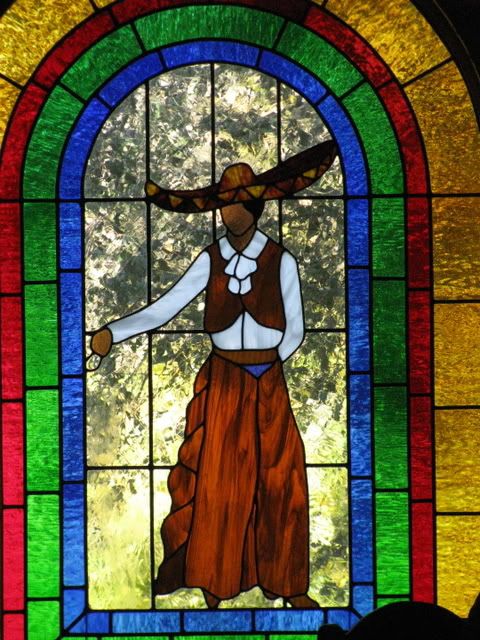
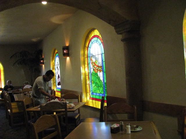
We really liked the décor of this restaurant with stained glass windows and music…here are some pics outside and in
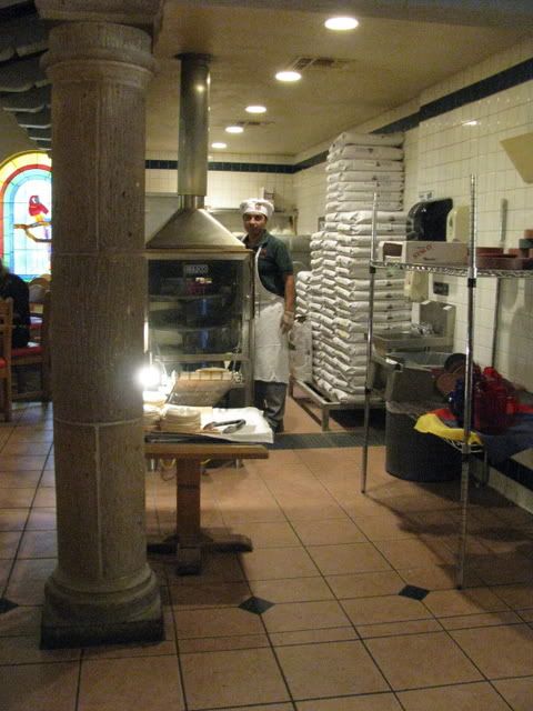
Making tortillas
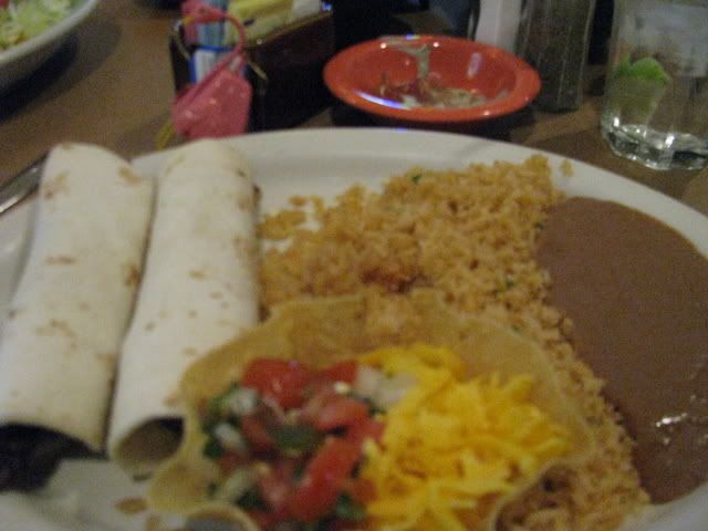
And Liz enjoyed her Mexican tacos and refried beans
So ends another great day at the TX gtg .

The entrance to the park

Diana was the best prepared according to this checklist…with hat, water, hiking stick and map.

Belle prepares for the climb up the Summit Trail. The granite has a pink color, similar to the granite that was used to build the Texas State Capitol.

Beth leads the ascent.

To the right of Enchanted Rock, the angular hill called Turkey Peak can be seen, so named for the turkey vultures that roost there.

To the left is the smaller dome, Little Rock. You can see the granite exfoliation sheets, caused as the granite expands and breaks into curved sheets.

These rock stripes are called dikes and are sheets of once molten rock that were injected into fractures after the granite solidified.

Weathering pits are depressions formed by erosion, when water and soil collect in the pits they can support various plant and animal life, but are very fragile.

Yellow, black, orange, and green lichen species grow and add colors on the pink granite.

Prickly pear supplied food (both the pads and fruit are edible) for the Native Americans.

Here we are at the summit

This survey marker is at 1825 feet above sea level and marks the highest point on Enchanted Rock.

This lone live oak tree died due to drought and people trampling and compacting the soil around it. It was left as a reminder to visitors to stay out of the weathering pits and vernal pools.

Going down is harder than going up.

After our hike we went to a Mexican Restaurant in Fredericksburg for lunch….Mamacitas

We really liked the décor of this restaurant with stained glass windows and music…here are some pics outside and in


Making tortillas

And Liz enjoyed her Mexican tacos and refried beans

So ends another great day at the TX gtg .
