It was such a beautiful sunny day here at the 45th, so I asked the "girls" if they would like to go for a ride. Figured they would enjoy getting out as much as I would. Don't have to tell you what the answer was. So we got ready, grabbed the camera and hit the road, heading north to one of our favorite areas, Mackinaw City.
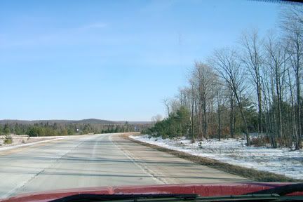
We hopped on I-75 here and took it as far as Indian River, about 40 miles north. Enjoying the scenery along the way. The white color of the road is salt dust from the winter. Will take a few rains to wash it off. When you get passed by semis, you get a dusting of salt dust as they go by.
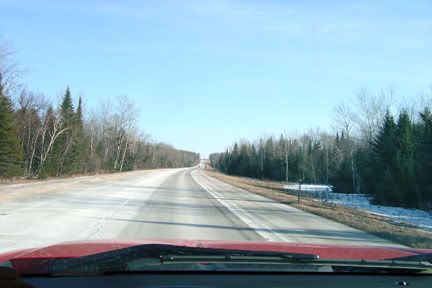
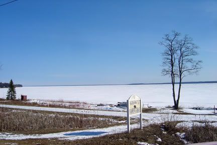
We exited at Indian River and picked up Highway 27, the old original road that used to be the way north before the expressway was built. It runs mostly through wooded country and a small town called Topinabee where I stopped to take a picture of Mullet Lake, the third largest lake in Michigan and also the same lake that I camp on when I am at Aloha State Park. As you can see, it like all other lakes up here is still iced in, but in a few weeks will be open once again.
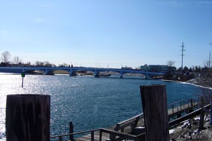
he old road takes us through the City of Cheboygan on the way north toward Mackinac. This is the Cheboygan River winding it's way through the town. It begins at the north end of Mullet Lake and ends into Lake Huron at the Straits of Mackinac a ways up the road.
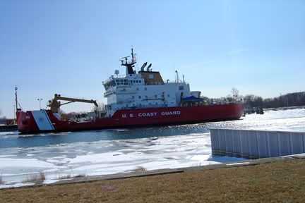
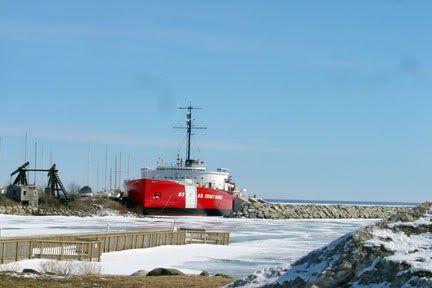
This is the U.S Coat Guard Cutter Mackinac. The largest icebreaker on the lakes and also a buoy tender. It was just commisioned about three years ago I think it was. Replaceing the old Icebreaker Mackinac which was at the time the oldest and largest icebreaker on the Great Lakes and the pride of Michigan. Cheboygan is it's home port. Before long, she will be sailing out to break ice in the shipping channels for the 2011 shipping season.
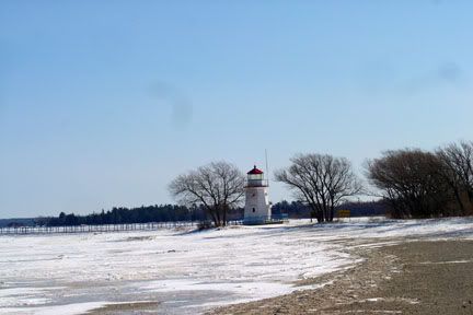
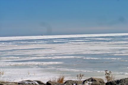
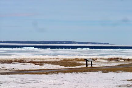
We followed the road up the end at the mouth of the Cheboygan River. Here you can see the Cheboygan Crib light marking the entrance to the river mouth. It was originally out in the water a bit farther, but was moved on dry land to protect it from the damaging waters. And as you can see, the straits are very much iced over yet. In the distance you can see a little speck in the middle of the picture. This is the Round Island Passage light. It marks the shipping channel for the Detour Passage to the St. Mary's River and Lake Superior.
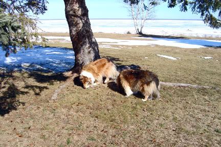
From here we took the highway north and stopped at a roadside park halfway between Cheboygan and Mackinaw City. The girls enjoyed checking out the local scents.
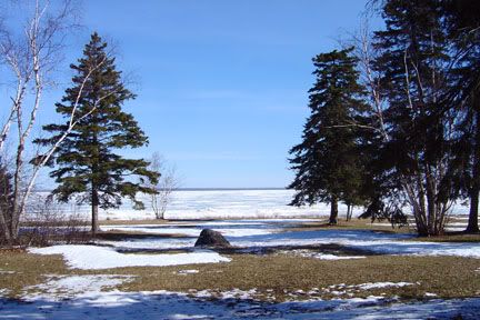
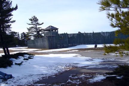
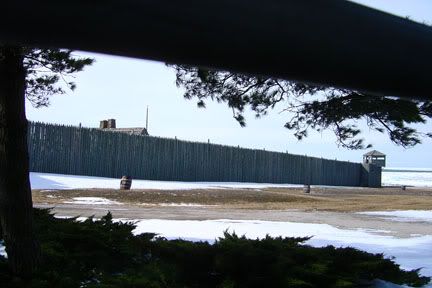
We finally arrived in Mackinaw City where the first order of business was lunch for the driver. Then we went and parked to explore our favorite park along the straits. This park is part of the Michigan State Historic parks system. A series of three state historic parks here. It encompasses Fort Michilimackinc, Fort Mackinac and Mackinac Island and Old Mill Creek State Park. All three of these places are intertwined. If you are interested in history, they are well worth the visit. this entire area is rich in history, having been settled by the French fur traders back in the 1700's. This is Fort Michilimackinac, the first fort built here and manned by the French, British and American forces over the years. It is also the site of a massacre of the entire British garrison by the indians. The history is way more than I can explain here, but here is a link if you are interested.
http://www.mightymac.org/michilimackinac.htm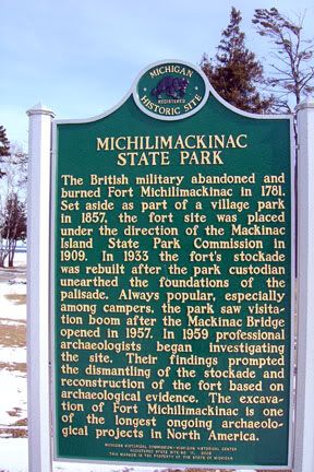
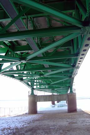
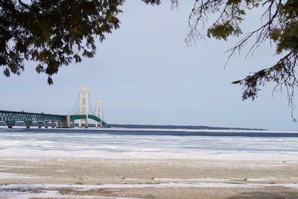
We walked under the Mackinac Bridge and looked at the maze of iron work holding up the 4 lane roadway and then took a picture of the bridge itself. Opened to traffic in 1957, it was at the time the longest suspension bridge in the world and an engineering achievement. It spans 5 miles across the straits.
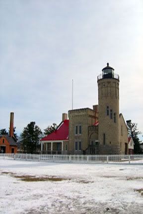
Also in this park is Old Mackinac Point Lighthouse. No longer in service, it has been restored and is now open for tours
Across the way, in the middle of the straits is Mackinac Island. This is where the movie "Somewhere in Time" starring Christopher Reeves was filmed. The long white object in the middle of the picture is the Grand Hotel, where the movie took place. And for those of you who have seen the movie, the scenes of the horses and carriages are real. There are no motor vehicles on this island except for the village of Makinac Island's emergency vehicles. Transportation is by horse and wagon and carriages or bicycle. Bicycles are a big thing here and the main drag is full of them. They are available for rent or you can take your own over on the ferry for a small fee. The island is worth spending a day exploring as there are a lot of sites to see and of course shop the main drag in the village itself. A number of people even bike the entire 9 mile road around the island. Transportation over and back is by ferry. There is no camping on the island, but there are hotels and resorts. Not cheap of course. Mackinac Island is known for it's fudge shops and the smells of fudge waft all over the main street. Tourists are referred to "fudgies" cause that's what they buy the most of.
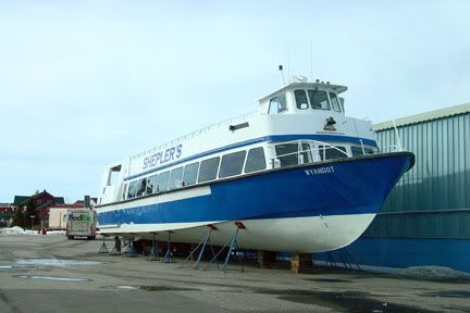
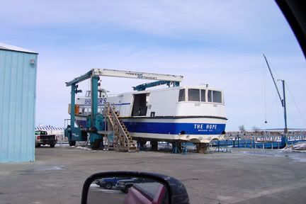
These are some of the ferries that run between Mackinaw City and the island. They are currently dry docked but are being preppedfor launch as soon as the ice goes out. There are three ferry companies serving the island from both Mackinaw City and St. Ignace on the other side of the bridge. These particular ones belong to Sheplers Ferry Service.
The now retired Icebreaker Mackinac, which was replaced the newer one now based in Cheboygan. This ship was the oldest and largest icebreaker on the Great Lakes and a familair sight to many of us. It was a sad day when it was decommissioned, but it was getting older, expensive to maintain and out of date. Fortunately a preservation group was formed and was able to purchase the ship from the Coast Guard, thus saving it from the scrapyard. It is now a floating museum and open for tours in summer.
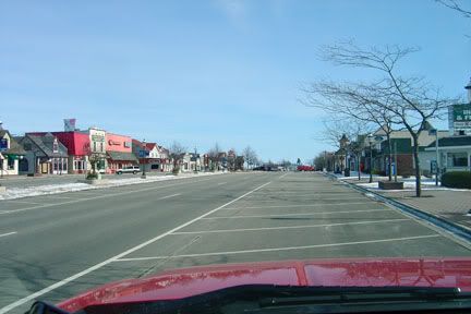
The main drag of Mackinaw City. These shops are all closed for the winter months. This is a big tourist area in summer and gets very busy. The shops along the drag cater to the "fudgies" selling all kinds of "souveniers". You name it, it's there. Off behind the shops on the right side of the street is the Mackinaw Crossings Mall, a collection of small shops spread out around a courtyard. Well worth the visit to see. You will also notice that I have been spelling Mackinaw with both a W and a C at the end. I forgot what the reason was that Mackinaw City has a W when everything else ends with a C, but it is not a typo.
This area is a great place to visit, so if you are coming up here, plan to spend a few days here. There are three state parks within a short drive of here and one private campground. But I will not recommend the private campground as I have driven through it and it's very crowded. They also have a ton of do's and don'ts and rules and regulations. I have yet to hear anything positive from friends I know who have stayed there.
So after most the day spent touring around this area, it is time to head for home. Back on southbound I-75 we go. It is a very worthwhile and enjoyable drive to come north or head south on I-75 here. Even if you are a person who doesn't travel the interstates, I highly recommend you take this road north from Gaylord to Mackinaw City. It is a very relaxing drive and extremely scenic. It is rated one of the most scenic stretches of the highway in MIchigan. The views and vistas along the way are beautiful, sometimes stretching as far as the eye can see. The pictures I have taken today don't do justice to this highway up here. We need the green leaves on the trees to really show the beauty.
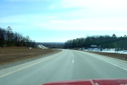
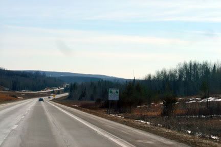
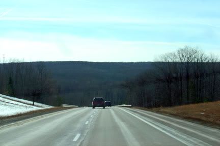
Hope you enjoyed our late winter's ride to Mackinaw. With blue sky, bright sun and the open road, what more could a person ask for. And my apologies to those of you who looked at this earlier. It was cut short cause I hit the wrong button and accidently posted befoe I was finished. So I earased the first post and reposted again.
 )
)


