Ididaroad on the Glenn Highway
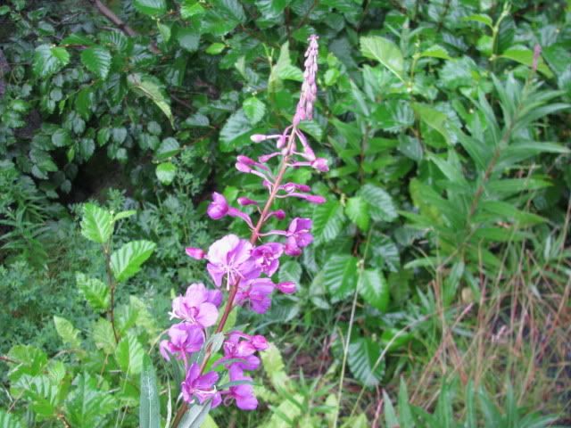
I’ve been watching the Fireweed ever since I read that it is the Sourdough’s (Alaska newcomer’s) calendar. When the bloom reaches the top of the stalk, then summer is over. Looks like we have a little more time.
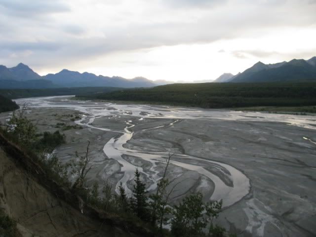
We spent the night near Palmer at an overlook of the Matanuska River. In the morning we followed the Glenn Highway east which runs beside the river to its source.
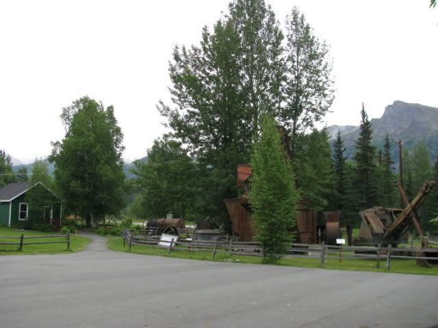
Our first stop was in Sutton at the Alpine Historical Park where we learned a lot about the region’s history, both native culture and coal mining.
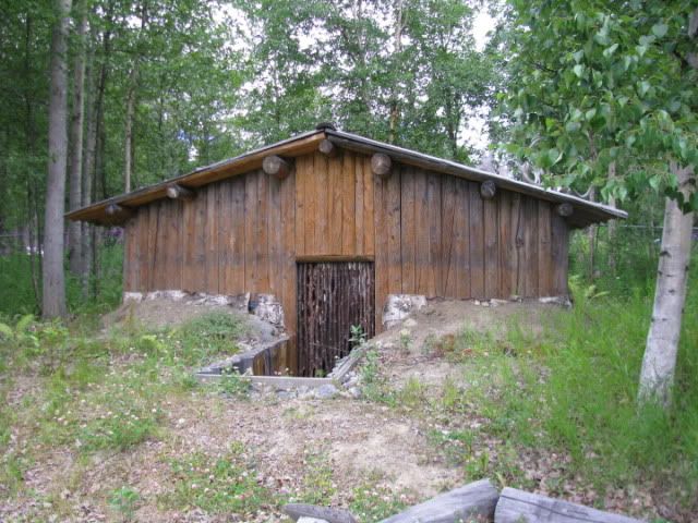
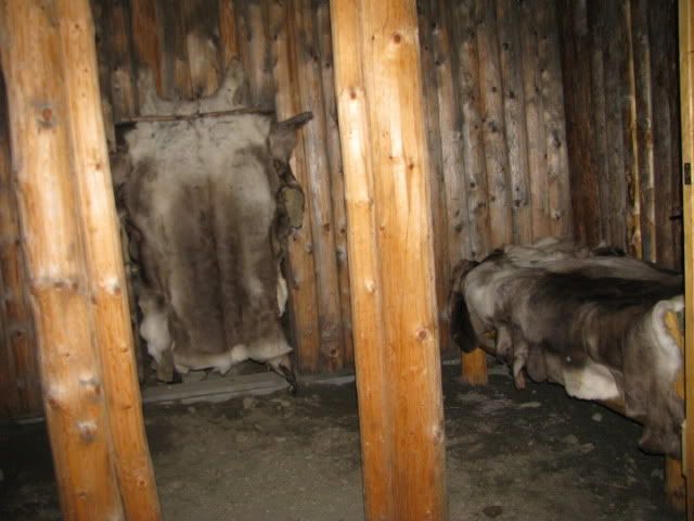
This is an example of the Athabascan’s winter lodge which was built in the forest and left in the spring when families moved to their summer fish camps. It was partially underground, built with vertical logs and the roof covered with spruce or birch bark and moss.
Inside, showing sleeping benches with caribou hides.
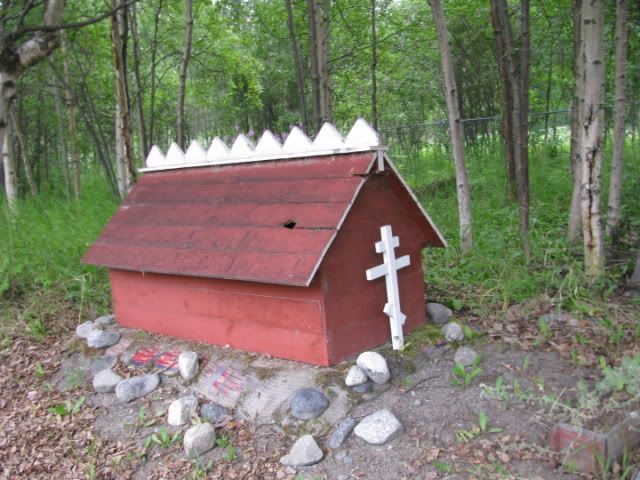
This Spirit House is over the grave of an Ahtna Indian who lived from 1870-1935. The custom of building Spirit Houses comes from a mixing of Indian and Russian Orthodox beliefs. An Indian must be buried with his head upriver. A blanket on top of the grave keeps the person warm. Relatives must wait 40 days before erecting the house so the spirit is not trapped. Specific colors identify the clan.
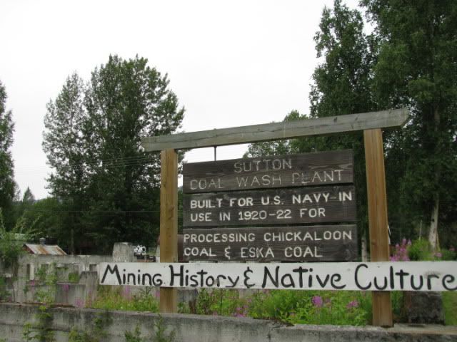
Preserved are the foundation of a coal wash plant and associated coal mining equipment. There is also a coal miner’s “Hall of Fame” with pictures and biographies of those associated with the coal boom here.
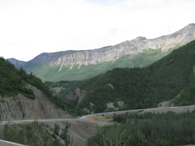
Designated as a scenic byway, the Glenn Highway was built by local civilians in a period of months, cutting through rough rock, steep terrain, and forests. Completed in 1944, it linked the AlCan Highway to Anchorage. Before that there was no road access to Anchorage from the lower 48.
Indians called the Matanuska River the “river from which trail comes out.” The river valley was an Indian trade route between Cook Inlet and the Copper River Basin. In the 1880’s white Americans used the trails to explore Alaska. The first coal was sledded down the frozen river in 1913.
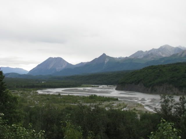
Across the river are the Chugach Mountains, ranging over 350 miles. This mountain is “Craig Mt.” Indians called it “Big mountain that is made like a face.” Can you see the profile of a face on top looking straight up at the sky?
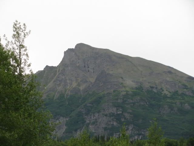
This is King Mountain.
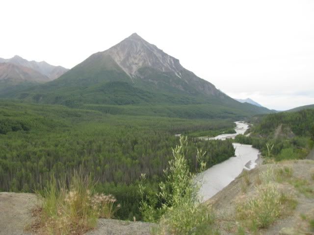
Long Lake (That’s its name)
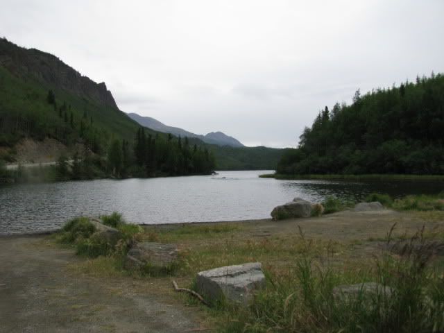
Another view.
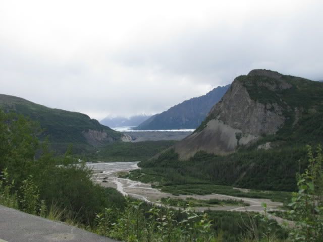
We didn’t mind waiting for road repairs with such beautiful scenery surrounding us.
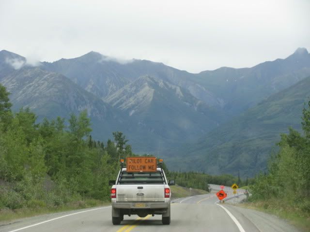
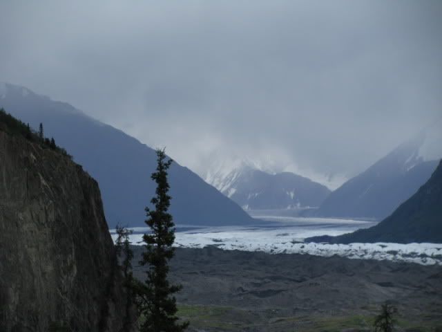
The source of the Matanuska River is the Matanuska Glacier….here’s our first glimpse. From here the river flows to the salt waters of Knik Arm. New braids are formed as the river changes course.
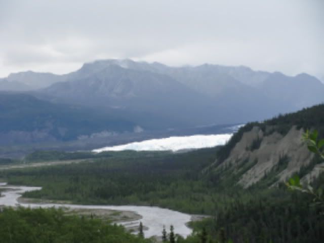
The Matanuska Glacier is a valley glacier, unlike most Alaskan glaciers that hang up in the mountains. This one flows down the valley like a river, advancing one foot a day. Only the right side is still active, where you see the snow and ice. The left side that looks black is “stagnated,” or no longer moving.
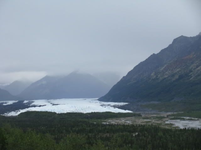
The glacier is 24 miles long, and 4 miles wide at the end.
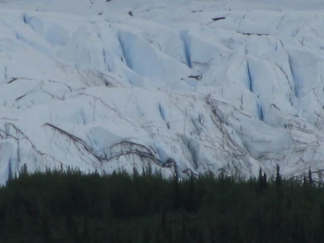
Up close…shows the height of the glacier above the trees
We took this “fairly easy” trail to get a better look.
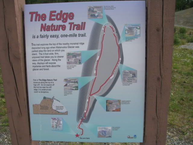
When asked at the end, Carol rated the trail “OK.”
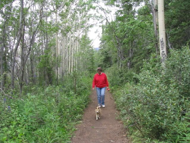
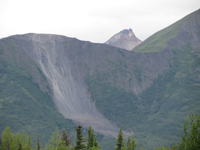
Along the way we learned about another kind of glacier, a rock glacier. It looks like a giant landslide, but unlike a landslide which happens quickly, a rock glacier is a mix of accumulated snow, ice, and rocks that creep slowly down the mountain by the force of gravity, eroding it rock by rock.
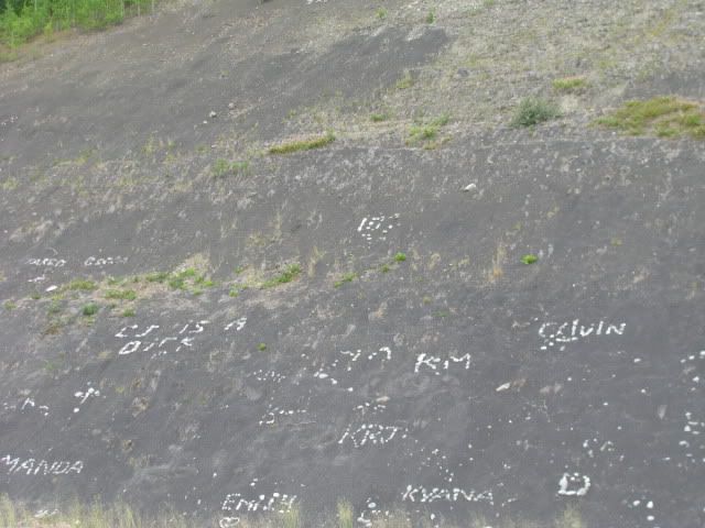
All over Alaska, people write messages with stones on the gravel banks along the road.
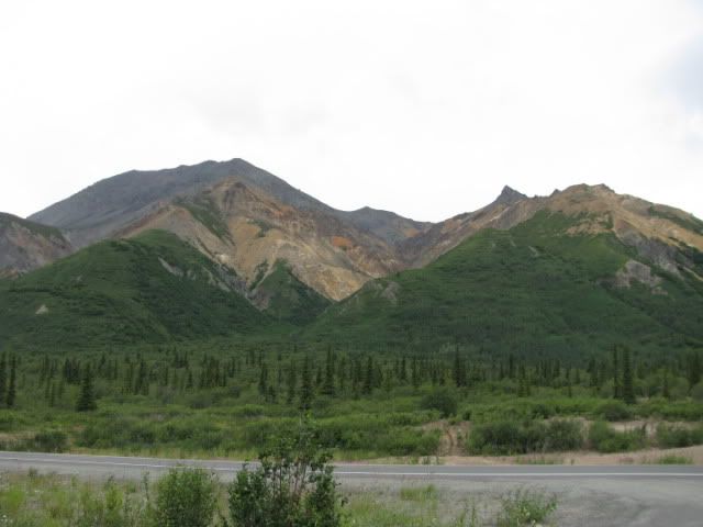
Sheep Mountain.
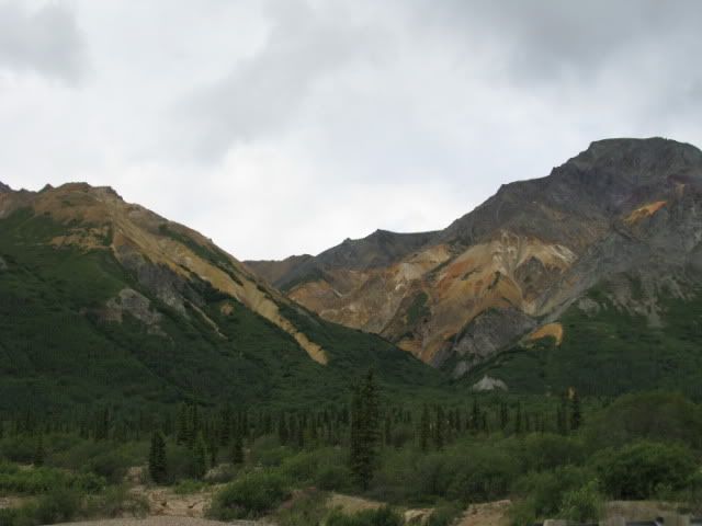
The colors are caused by iron-stained gypsum cooked up by a volcano.
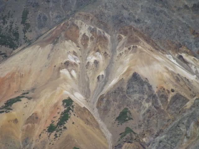
Mountain sheep like to hang out here because of the salt and other minerals in the rock. We didn’t see any though.
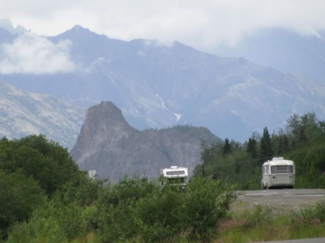
Lion’s Head, this Sphynx-like formation was once covered by thousands of feet of glacier. It is the base of a volcano.
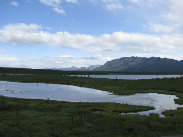
Continuing on, the valley broadens and a series of lakes dot the valley floor.
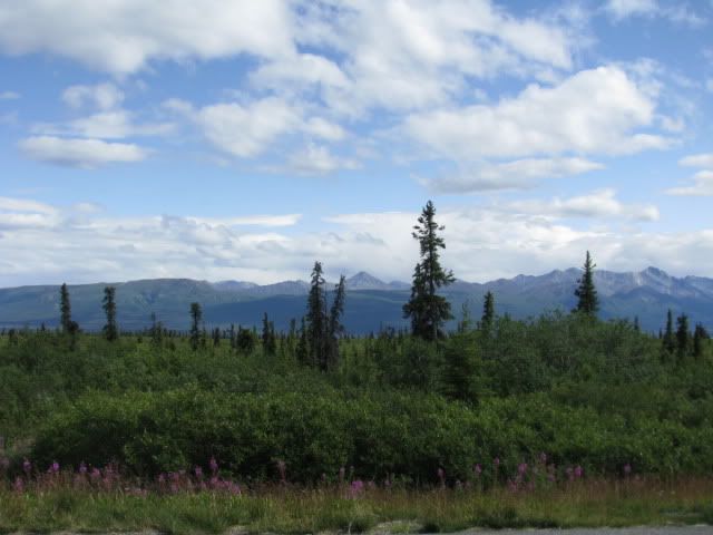
Climbing again to Eureka Summit, the highest point on the highway at 3322 ft. On a clear day you can see 4 mountain ranges from here. It wasn’t a clear day, at least not in all directions.
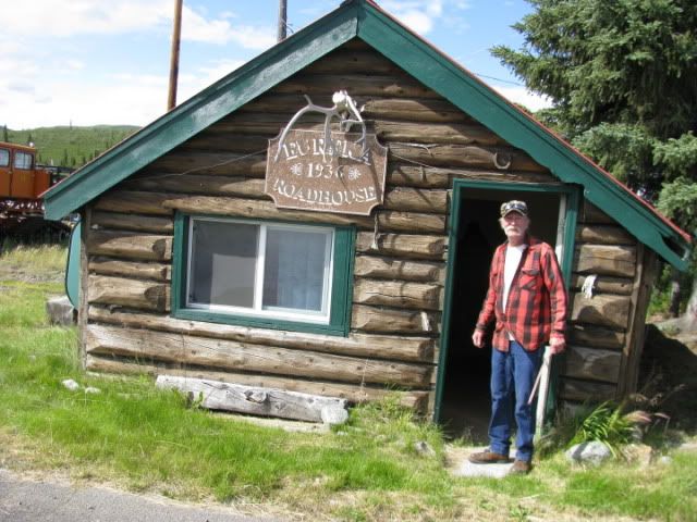
This cabin dweller was happy to tell about his home. He thinks he might repaint the sign this year.
And of course the day wouldn’t be complete without a …
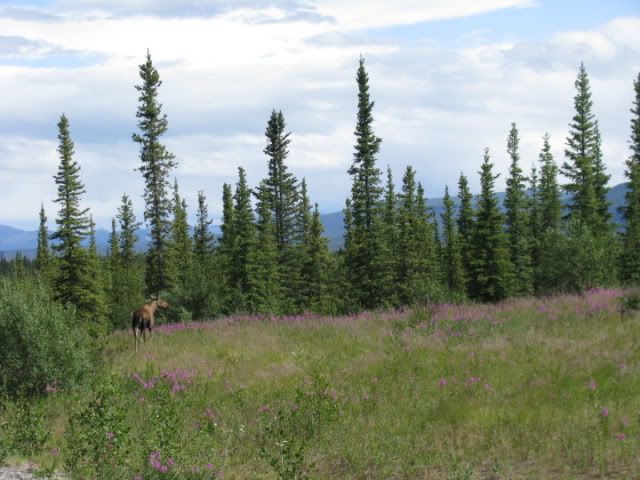
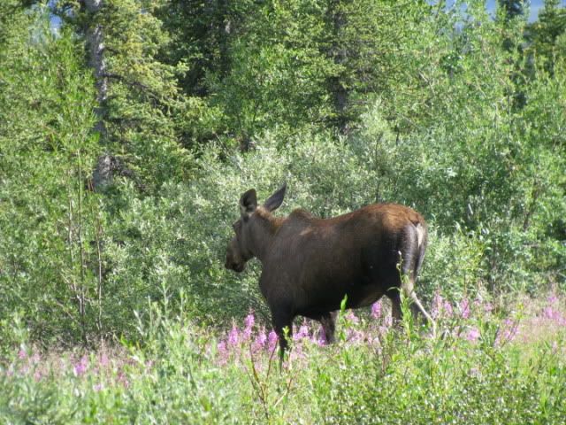
Moose!
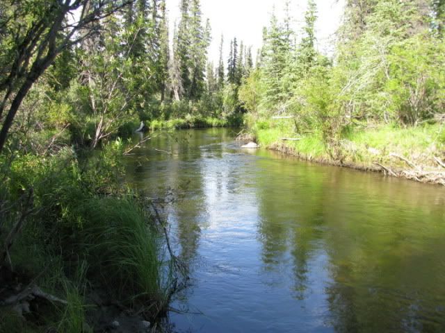
After a leisurely day, we camped in a rest area beside Mendeltna Creek.

We spent the night near Palmer at an overlook of the Matanuska River. In the morning we followed the Glenn Highway east which runs beside the river to its source.

Our first stop was in Sutton at the Alpine Historical Park where we learned a lot about the region’s history, both native culture and coal mining.

This is an example of the Athabascan’s winter lodge which was built in the forest and left in the spring when families moved to their summer fish camps. It was partially underground, built with vertical logs and the roof covered with spruce or birch bark and moss.

Inside, showing sleeping benches with caribou hides.

This Spirit House is over the grave of an Ahtna Indian who lived from 1870-1935. The custom of building Spirit Houses comes from a mixing of Indian and Russian Orthodox beliefs. An Indian must be buried with his head upriver. A blanket on top of the grave keeps the person warm. Relatives must wait 40 days before erecting the house so the spirit is not trapped. Specific colors identify the clan.

Preserved are the foundation of a coal wash plant and associated coal mining equipment. There is also a coal miner’s “Hall of Fame” with pictures and biographies of those associated with the coal boom here.

Designated as a scenic byway, the Glenn Highway was built by local civilians in a period of months, cutting through rough rock, steep terrain, and forests. Completed in 1944, it linked the AlCan Highway to Anchorage. Before that there was no road access to Anchorage from the lower 48.

Indians called the Matanuska River the “river from which trail comes out.” The river valley was an Indian trade route between Cook Inlet and the Copper River Basin. In the 1880’s white Americans used the trails to explore Alaska. The first coal was sledded down the frozen river in 1913.

Across the river are the Chugach Mountains, ranging over 350 miles. This mountain is “Craig Mt.” Indians called it “Big mountain that is made like a face.” Can you see the profile of a face on top looking straight up at the sky?

This is King Mountain.

Long Lake (That’s its name)

Another view.

We didn’t mind waiting for road repairs with such beautiful scenery surrounding us.

The source of the Matanuska River is the Matanuska Glacier….here’s our first glimpse. From here the river flows to the salt waters of Knik Arm. New braids are formed as the river changes course.

The Matanuska Glacier is a valley glacier, unlike most Alaskan glaciers that hang up in the mountains. This one flows down the valley like a river, advancing one foot a day. Only the right side is still active, where you see the snow and ice. The left side that looks black is “stagnated,” or no longer moving.

The glacier is 24 miles long, and 4 miles wide at the end.

Up close…shows the height of the glacier above the trees

We took this “fairly easy” trail to get a better look.

When asked at the end, Carol rated the trail “OK.”

Along the way we learned about another kind of glacier, a rock glacier. It looks like a giant landslide, but unlike a landslide which happens quickly, a rock glacier is a mix of accumulated snow, ice, and rocks that creep slowly down the mountain by the force of gravity, eroding it rock by rock.

All over Alaska, people write messages with stones on the gravel banks along the road.

Sheep Mountain.

The colors are caused by iron-stained gypsum cooked up by a volcano.

Mountain sheep like to hang out here because of the salt and other minerals in the rock. We didn’t see any though.

Lion’s Head, this Sphynx-like formation was once covered by thousands of feet of glacier. It is the base of a volcano.

Continuing on, the valley broadens and a series of lakes dot the valley floor.

Climbing again to Eureka Summit, the highest point on the highway at 3322 ft. On a clear day you can see 4 mountain ranges from here. It wasn’t a clear day, at least not in all directions.

This cabin dweller was happy to tell about his home. He thinks he might repaint the sign this year.

And of course the day wouldn’t be complete without a …

Moose!

After a leisurely day, we camped in a rest area beside Mendeltna Creek.
