Ididaroad at Hatcher Pass
Beth and we parted for awhile after Walmart in Wasilla to pursue separate adventures. I’ll take you along with us to Hatcher Pass. Check out Beth’s blog for her adventure.
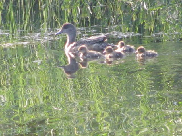
First I had to show you this cute duck family at our camping spot beside Sheep Creek.
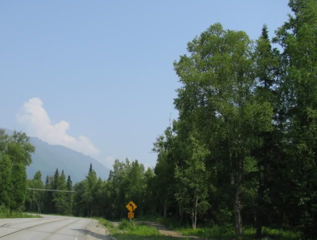
Then we started up the road to Hatcher Pass.
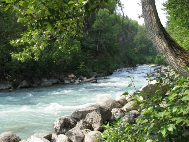
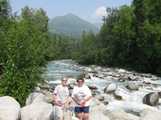
The road followed alongside the very scenic Little Susitna River.
We learned about the different climate zones we’d be passing through…
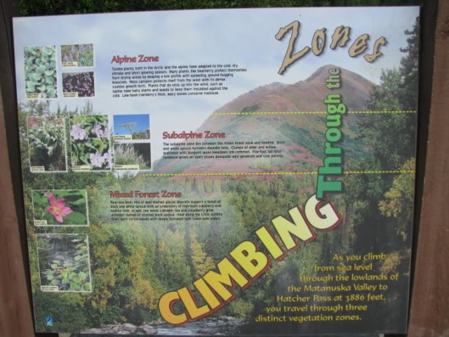
….as we climb to 3500’ elevation.
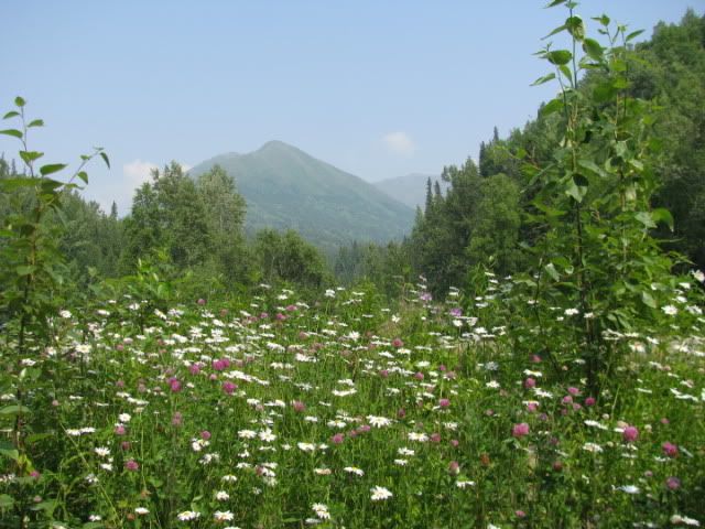
Lots of pretty wildflowers by the roadside.
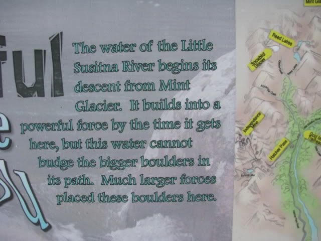
The source of the Little Susitna River is high up in the mountain at Mint Glacier, as this sign tells about. There’s a nine mile trail to the glacier, but you’ll have to use your imagination.
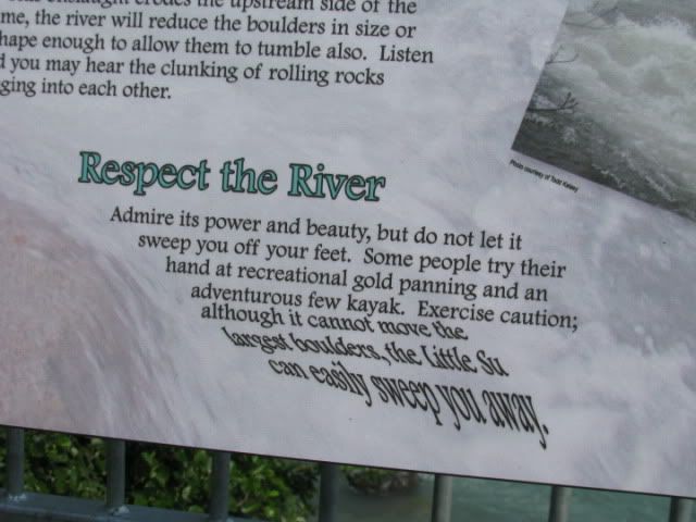
The water looks sort of minty, don’t you think?
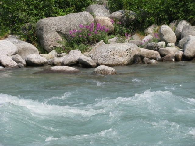
Carol made me risk my life climbing on rocks to get this picture of the water rushing through them.
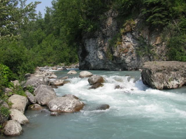
So I took this picture looking back at her from the middle of the river. (She’ll say I’m exaggerating.)
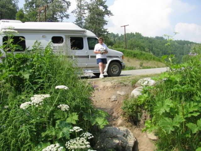
Some of the scenery we passed as we climbed into the mountains.
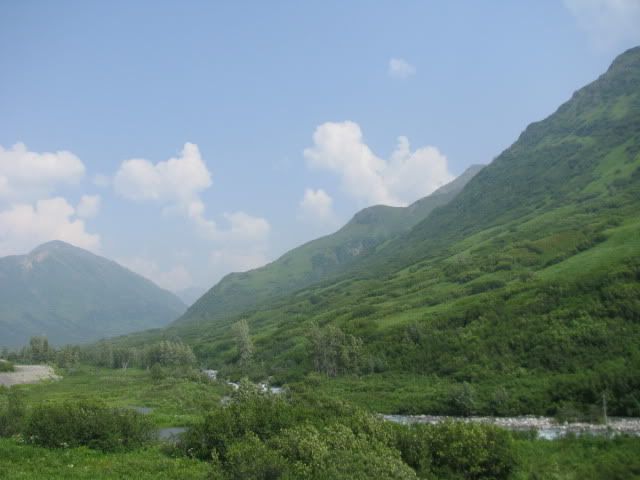
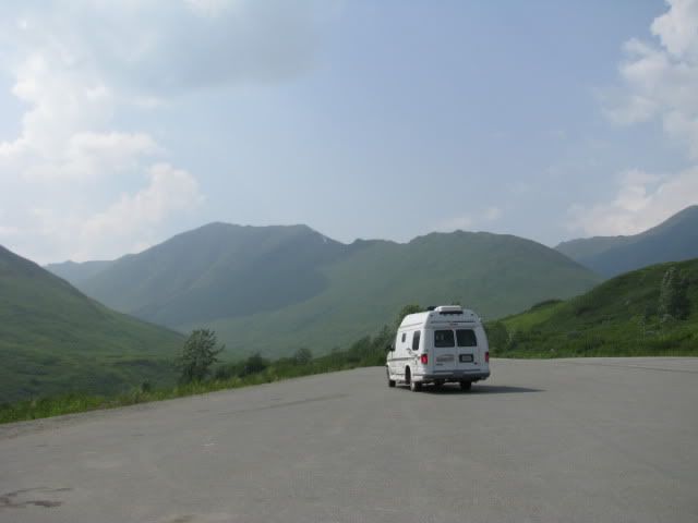
Scenic overlook and trailhead where we decided to come back and camp.
At the top we visited the Independence Mine National Historical Site which operated during the early 1900s.
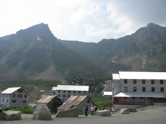
This was the mine manager’s house…he had a beautiful view of the surrounding mountains from his deck. It is nicely preserved and now houses the Visitor’s Center.
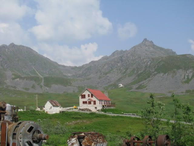
I guess this was the dinner bell or signal for quitting time?
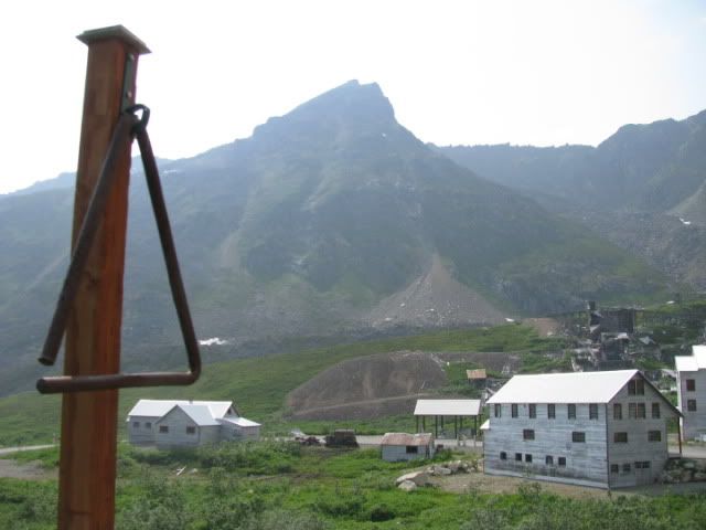
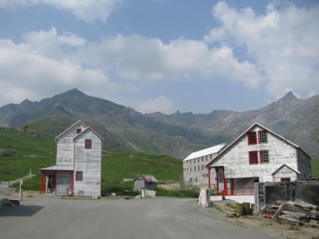
Most of the old buildings are still standing in original condition. The tall skinny buildings were bunkhouses for the mine workers. The building on the right housed engineer’s offices and a schoolroom on the second floor for children of families living here.
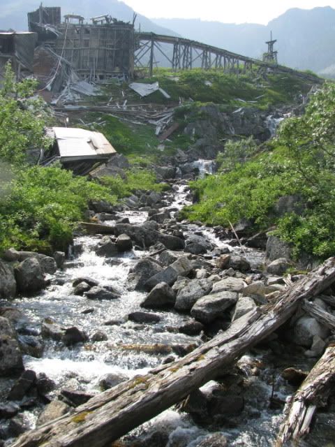
The ruins of the mine structures.
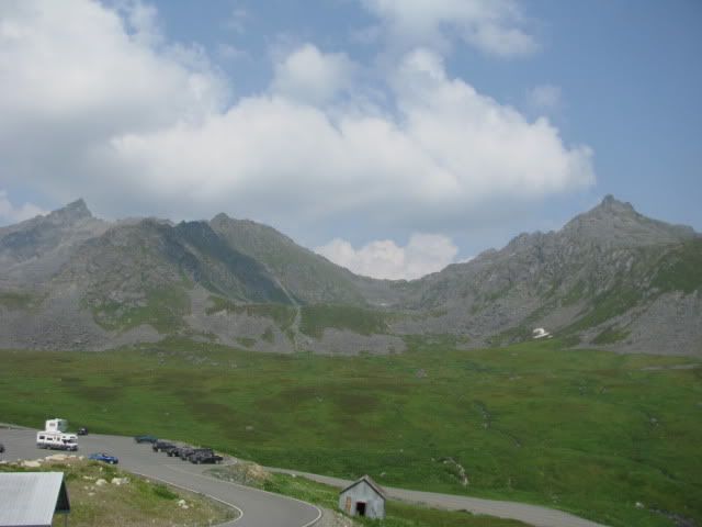
The ranger pointed out a trail that leads to a glacial lake about halfway up that mountain. Of course you want to come along, don’t you?
Roe was impatient to get started, so he peed on the post.
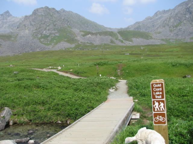
The trail starts out pretty level and follows this little stream.
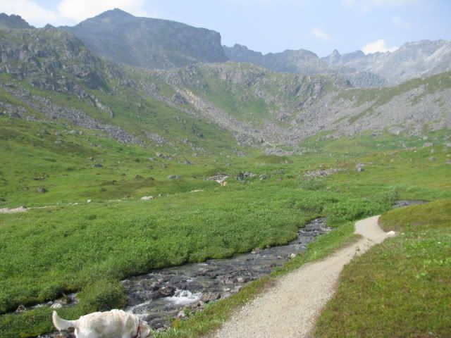
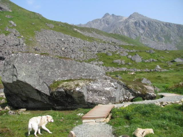
Then it starts up an incline and you go around big boulders like this one.
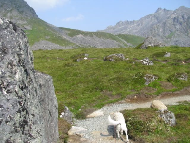
And over little bridges.
About half way up you come to this little circa 1930 cabin.
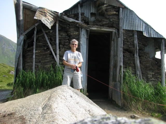
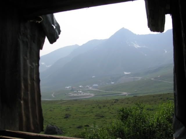
View out the window.
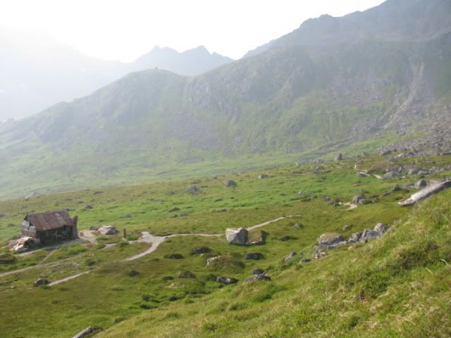
Now you really start to climb. Looking back to see if we can spot Carol and Maggie coming…
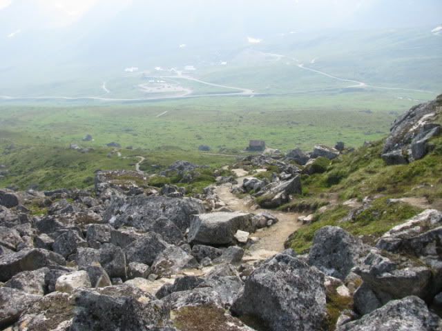
The trail gets rocky here as you climb up, over and through them.
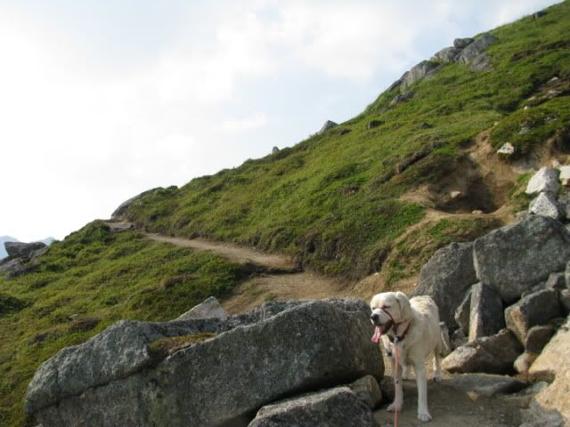
And hugs the steep mountainside.
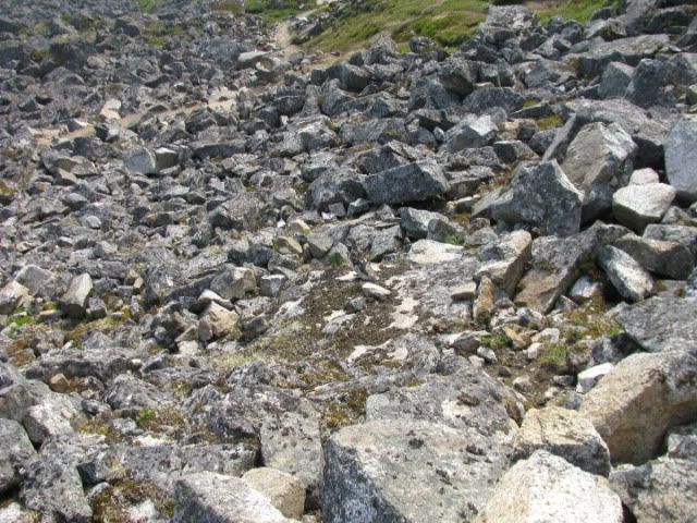
You remember the Alaska State bird and the story about the town of Chicken right? Well the Ptarmigan is a master of disguise…pure white in winter it blends in with the snow. In summer, well it blends in with it’s environment too. Can you see it? If it hadn’t moved, I wouldn’t have. If you’re having trouble, maybe you should wait until it moves.
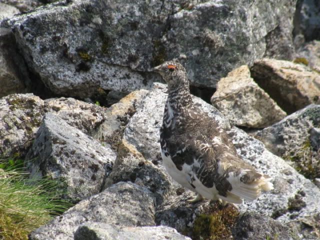
Can you see it now? I read on a signboard somewhere that there are three kinds of ptarmigans, the Willow Ptarmigan, the Rock Ptarmigan, and I forget the third one. Which one would you guess this is?
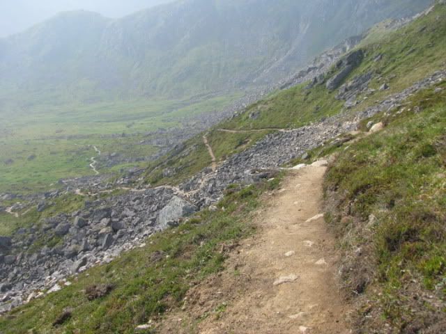
Looking back again.
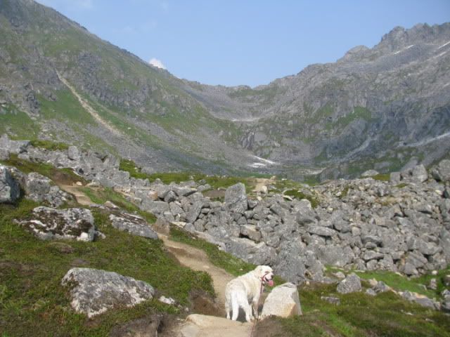
Almost there, you coming?
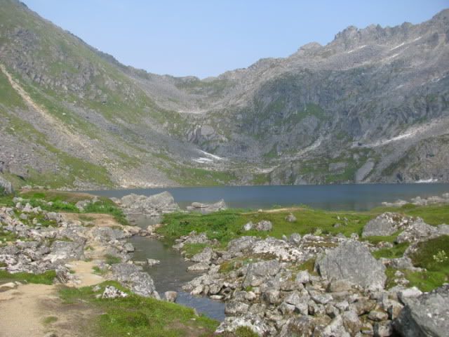
And here’s the lake…pretty blue.
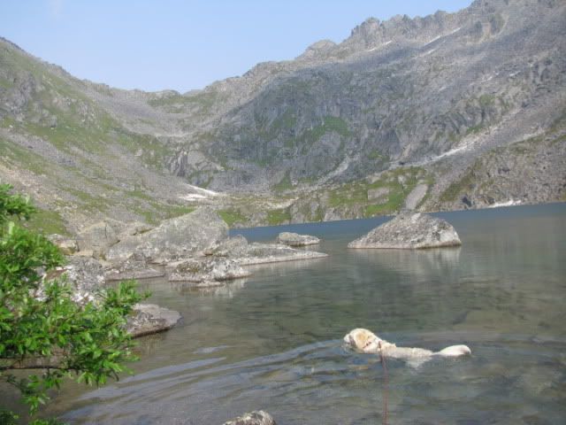
And refreshing after a long hike….go ahead, jump right in with Roe.
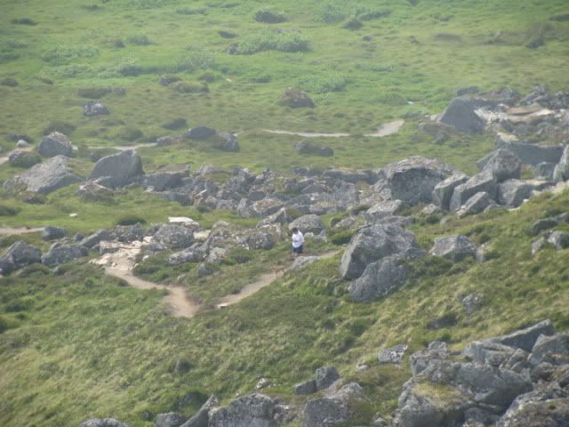
Ah, too bad, Carol had to turn back when the trail got too rocky and steep. And she really wanted to see the lake too.
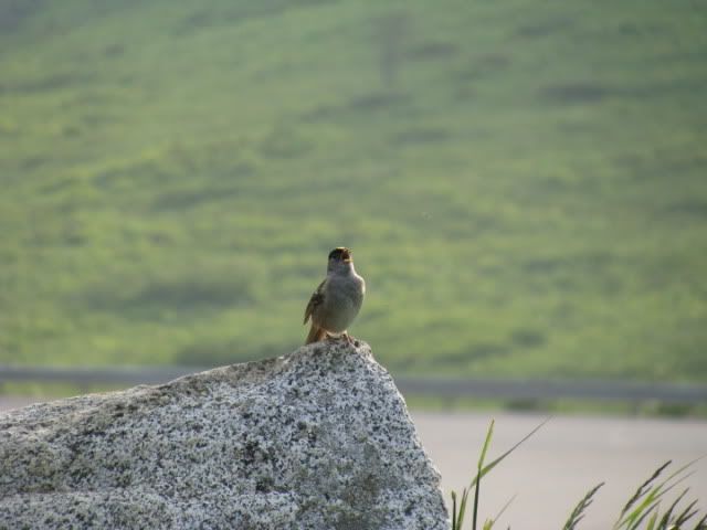
Back at our aforementioned campsite, the hills are alive…
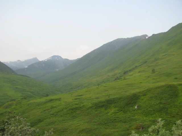
...with the sound of music…(looks like we could be in Austria too)
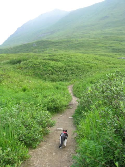
There are hiking trails here too, remember, not to be wasted. And everybody wants another hike, right? Bandit does.
Uh oh, we’ve been spotted.
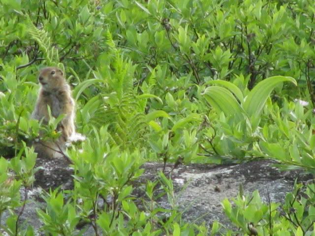
Maggie says, don’t worry, I’ll get ‘im.
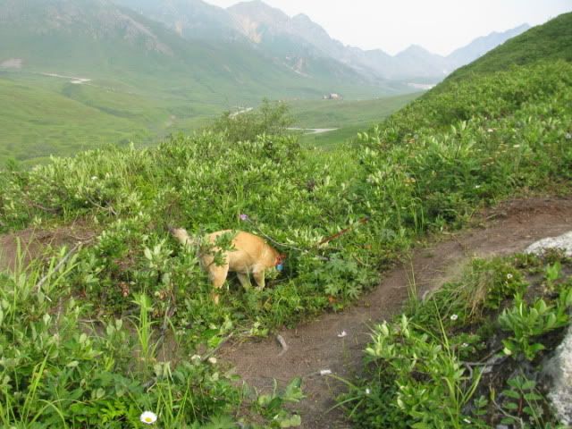
“Where’d he go, Maggie?”
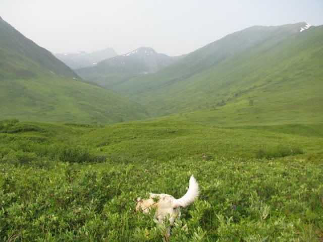
Ok, we’re all through hiking now…hope you enjoyed our trip to Hatcher Pass.
First I had to show you this cute duck family at our camping spot beside Sheep Creek.

Then we started up the road to Hatcher Pass.

The road followed alongside the very scenic Little Susitna River.

We learned about the different climate zones we’d be passing through…

….as we climb to 3500’ elevation.

Lots of pretty wildflowers by the roadside.

The source of the Little Susitna River is high up in the mountain at Mint Glacier, as this sign tells about. There’s a nine mile trail to the glacier, but you’ll have to use your imagination.


The water looks sort of minty, don’t you think?

Carol made me risk my life climbing on rocks to get this picture of the water rushing through them.

So I took this picture looking back at her from the middle of the river. (She’ll say I’m exaggerating.)

Some of the scenery we passed as we climbed into the mountains.

Scenic overlook and trailhead where we decided to come back and camp.

At the top we visited the Independence Mine National Historical Site which operated during the early 1900s.

This was the mine manager’s house…he had a beautiful view of the surrounding mountains from his deck. It is nicely preserved and now houses the Visitor’s Center.

I guess this was the dinner bell or signal for quitting time?

Most of the old buildings are still standing in original condition. The tall skinny buildings were bunkhouses for the mine workers. The building on the right housed engineer’s offices and a schoolroom on the second floor for children of families living here.

The ruins of the mine structures.

The ranger pointed out a trail that leads to a glacial lake about halfway up that mountain. Of course you want to come along, don’t you?

Roe was impatient to get started, so he peed on the post.

The trail starts out pretty level and follows this little stream.

Then it starts up an incline and you go around big boulders like this one.

And over little bridges.

About half way up you come to this little circa 1930 cabin.

View out the window.

Now you really start to climb. Looking back to see if we can spot Carol and Maggie coming…

The trail gets rocky here as you climb up, over and through them.

And hugs the steep mountainside.

You remember the Alaska State bird and the story about the town of Chicken right? Well the Ptarmigan is a master of disguise…pure white in winter it blends in with the snow. In summer, well it blends in with it’s environment too. Can you see it? If it hadn’t moved, I wouldn’t have. If you’re having trouble, maybe you should wait until it moves.

Can you see it now? I read on a signboard somewhere that there are three kinds of ptarmigans, the Willow Ptarmigan, the Rock Ptarmigan, and I forget the third one. Which one would you guess this is?

Looking back again.

Almost there, you coming?

And here’s the lake…pretty blue.

And refreshing after a long hike….go ahead, jump right in with Roe.

Ah, too bad, Carol had to turn back when the trail got too rocky and steep. And she really wanted to see the lake too.

Back at our aforementioned campsite, the hills are alive…

...with the sound of music…(looks like we could be in Austria too)

There are hiking trails here too, remember, not to be wasted. And everybody wants another hike, right? Bandit does.

Uh oh, we’ve been spotted.

Maggie says, don’t worry, I’ll get ‘im.

“Where’d he go, Maggie?”

Ok, we’re all through hiking now…hope you enjoyed our trip to Hatcher Pass.
